Find out about your place
Get help learning about your place in Aotearoa New Zealand. Find out about important places, people, and events from your region and where you can learn more about them. Pick where you're from to get started!
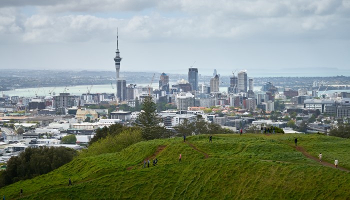
Auckland | Tāmaki Makaurau
Aotearoa has a unique story involving a variety of people, places and events. We'll show you the best websites, collections, and books to use to explore these histories and find out what has happened in Auckland | Tāmaki Makaurau in the past.
Learn about Auckland | Tāmaki Makaurau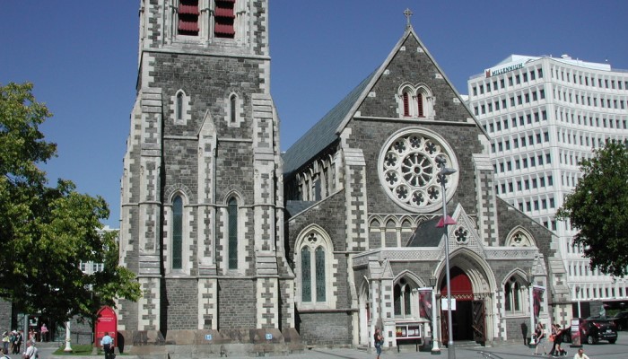
Christchurch | Ōtautahi
Aotearoa has a unique story involving a variety of people, places and events. In this entry we'll show you the best websites, collections, and books to use to explore this history and find out what has happened in Christchurch | Ōtautahi in the past.
Learn about Christchurch | Ōtautahi
East Coast | Te Tairāwhiti
The East Coast district is also known as East Cape, Eastland and Te Tairāwhiti. Several waka (canoes) made their landing here. Māui used Nukutaimemeha to fish up the North Island | Te Ika-a-Maui. It was also here that James Cook first set foot on Aotearoa.
Learn about East Coast | Te Tairāwhiti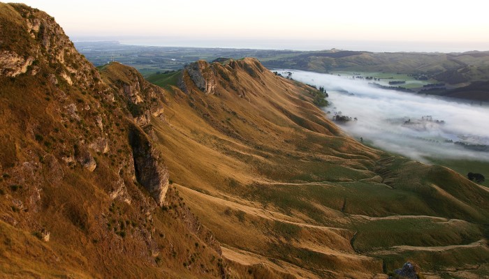
Hawke's Bay | Te Matau-a-Māui
Māori knew Hawke's Bay as Te Matau-a-Māui (Māui's fish hook). According to pūrākau, Cape Kidnappers is the jaw bone Māui used to fish up the North Island | Te Ika-a-Māui. Use the recommended websites and collections to explore the histories of Hawke's Bay.
Learn about Hawke's Bay | Te Matau-a-Māui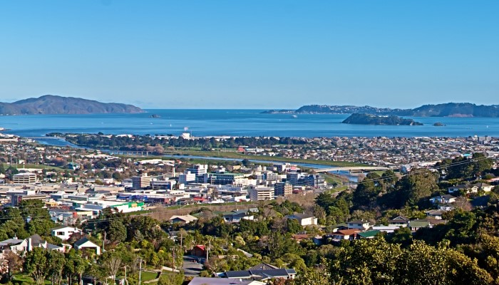
Lower Hutt | Te Awa Kairangi
Lower Hutt | Te Awa Kairangi is a city in the Wellington Region. It is a great place to live, work and play. We'll show you the best websites, collections, and books to use to explore the histories of people, places, and events of Hutt City.
Learn about Lower Hutt | Te Awa Kairangi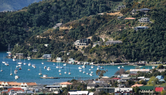
Marlborough | Te Tauihu-o-te-waka
Marlborough | Te Tauihu-o-te-waka has a unique story involving a variety of people, places and events. We'll show you the best websites and books to use to explore this history and find out what has happened in Marlborough in the past.
Learn about Marlborough | Te Tauihu-o-te-waka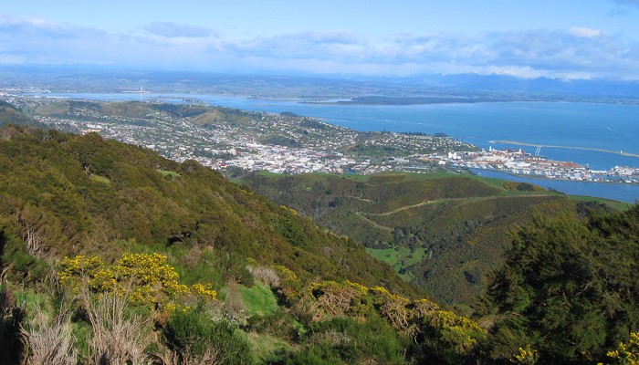
Nelson | Whakatū
Nelson | Whakatū is one of three regions in Te Tauihu o Te Waka-a-Māui, the top of the South Island. Legend tells us that Te Tauihu was the prow of Māui's waka, or canoe, from which he fished up the North Island.
Learn about Nelson | Whakatū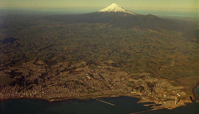
New Plymouth | Ngāmotu
Māori arrived to Ngāmotu | New Plymouth over 700 years ago. Pākehā settlers arrived in the 19th century. Settlement and colonisation has had an impact ever since. We'll show you the best collections and websites to use to explore New Plymouth's histories.
Learn about New Plymouth | Ngāmotu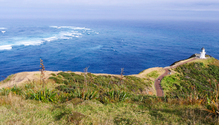
Northland | Te Tai Tokerau
From the time of Kupe’s naming of the Hokianga Harbour (Kaitaki o Te Wahapu o Hokianga Nui a Kupe) over 800 years ago to the largest signings of the Treaty of Waitangi, Northland has had great significance in Aotearoa's New Zealand history.
Learn about Northland | Te Tai Tokerau
Otago
The story of Otago includes lots of people, places and events. We'll show you different online collections and where you can go in person to explore these histories.
Learn about Otago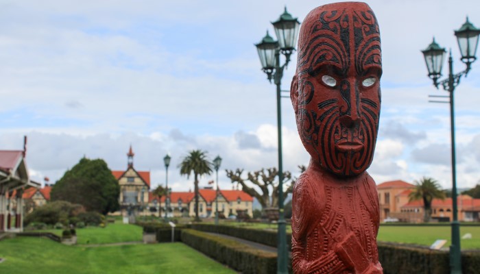
Rotorua
Rotorua is in the Bay of Plenty region. It is known for its geothermal activity and Māori culture. It has a unique story involving a variety of people, places and events. We'll show you the best websites and books to use to explore its history.
Learn about Rotorua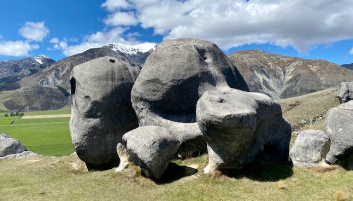
Selwyn | Waikirikiri
Selwyn | Waikirikiri is a county on the South Island of New Zealand that is rich in history. We will introduce you to some of it's unique people, places and events and how to find out about them.
Learn about Selwyn | Waikirikiri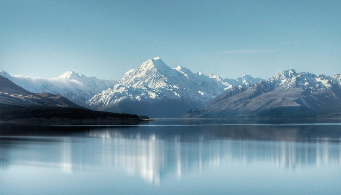
South Canterbury | Aoraki
South Canterbury is located in the lower half of the South Island of New Zealand. It is made up of three districts – Timaru, Waimate and Mackenzie. We'll recommend resources that explore South Canterbury and what has happened in this area in the past.
Learn about South Canterbury | Aoraki
Southland | Murihiku | Te Taurapa o Te Waka
Southland | Murihiku has a unique story involving many people, places and events. In the following pages you will be shown reliable websites, collections, and books to use to explore these histories and find out what has happened in Southland in the past.
Learn about Southland | Murihiku | Te Taurapa o Te Waka
Tasman | Te Tai o Aorere
Tasman District has seventeen townships, all with their own history. This entry will help you find out about places, events, and people, that have shaped the district.
Learn about Tasman | Te Tai o Aorere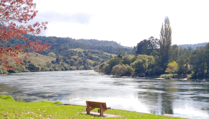
Waikato
The Waikato is the fourth largest region in New Zealand. Kirikiriroa | Hamilton is the only main city centre in the Waikato region. It was declared a borough in 1877 and a city in 1945. It was named for Captain John Hamilton, a Royal Navy officer.
Learn about Waikato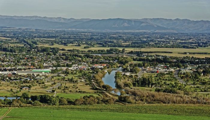
Waimakariri
The Waimakariri District stretches from the Waimakariri River to the Hurunui District. Waitaha were the first people in the South Island and were followed by Ngāti Māmoe and Ngāi Tahu, with European settlers arriving from the 1850's.
Learn about Waimakariri
Wellington | Te Whanganui-a-Tara
Legends tell how Kupe chased a Wheke (octopus) from Hawaiki to the Cook Strait, where he discovered Aotearoa. Over the centuries, different groups of Māori, Pākehā settlers and migrants have lived in the Wellington area.
Learn about Wellington | Te Whanganui-a-Tara